
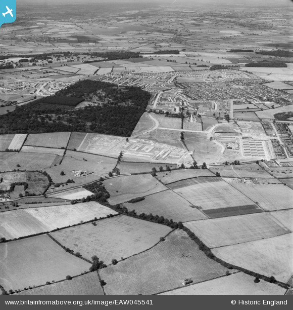
EAW045541 ENGLAND (1952). Hazel Wood, Thoroughsale Wood and the town, Corby, from the south-east, 1952
© Copyright OpenStreetMap contributors and licensed by the OpenStreetMap Foundation. 2026. Cartography is licensed as CC BY-SA.
Details
| Title | [EAW045541] Hazel Wood, Thoroughsale Wood and the town, Corby, from the south-east, 1952 |
| Reference | EAW045541 |
| Date | 19-July-1952 |
| Link | |
| Place name | CORBY |
| Parish | |
| District | |
| Country | ENGLAND |
| Easting / Northing | 488407, 287586 |
| Longitude / Latitude | -0.69813368559543, 52.478661267684 |
| National Grid Reference | SP884876 |
Pins
Be the first to add a comment to this image!