
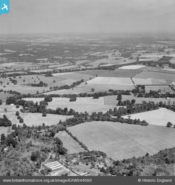
EAW044560 ENGLAND (1952). Piggots Corner and the surrounding countryside, Remenham Hill, from the west, 1952
© Copyright OpenStreetMap contributors and licensed by the OpenStreetMap Foundation. 2026. Cartography is licensed as CC BY-SA.
Details
| Title | [EAW044560] Piggots Corner and the surrounding countryside, Remenham Hill, from the west, 1952 |
| Reference | EAW044560 |
| Date | 4-July-1952 |
| Link | |
| Place name | REMENHAM HILL |
| Parish | REMENHAM |
| District | |
| Country | ENGLAND |
| Easting / Northing | 478359, 182124 |
| Longitude / Latitude | -0.87019632827598, 51.532099219171 |
| National Grid Reference | SU784821 |
Pins

Matt Aldred edob.mattaldred.com |
Thursday 3rd of April 2025 10:36:31 AM | |

RichardG |
Monday 16th of September 2019 01:49:27 AM |