
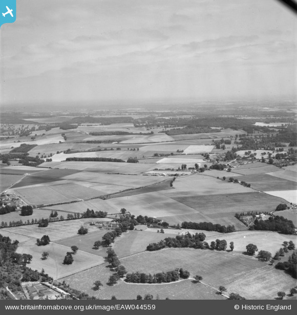
EAW044559 ENGLAND (1952). Countryside to the east of Temple Combe, Crazies Hill, from the west, 1952
© Copyright OpenStreetMap contributors and licensed by the OpenStreetMap Foundation. 2026. Cartography is licensed as CC BY-SA.
Details
| Title | [EAW044559] Countryside to the east of Temple Combe, Crazies Hill, from the west, 1952 |
| Reference | EAW044559 |
| Date | 4-July-1952 |
| Link | |
| Place name | CRAZIES HILL |
| Parish | WARGRAVE |
| District | |
| Country | ENGLAND |
| Easting / Northing | 478821, 181502 |
| Longitude / Latitude | -0.86367572059986, 51.526442682684 |
| National Grid Reference | SU788815 |
Pins

Matt Aldred edob.mattaldred.com |
Thursday 3rd of April 2025 10:39:54 AM | |

RichardG |
Monday 16th of September 2019 01:43:00 AM | |
|
RichardG |
Monday 16th of September 2019 01:40:48 AM |