
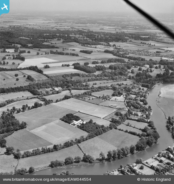
EAW044554 ENGLAND (1952). Wargrave Marsh and the surrounding countryside, Wargrave, from the north-west, 1952
© Copyright OpenStreetMap contributors and licensed by the OpenStreetMap Foundation. 2026. Cartography is licensed as CC BY-SA.
Details
| Title | [EAW044554] Wargrave Marsh and the surrounding countryside, Wargrave, from the north-west, 1952 |
| Reference | EAW044554 |
| Date | 4-July-1952 |
| Link | |
| Place name | WARGRAVE |
| Parish | WARGRAVE |
| District | |
| Country | ENGLAND |
| Easting / Northing | 477980, 179978 |
| Longitude / Latitude | -0.87613482608521, 51.51285757845 |
| National Grid Reference | SU780800 |
Pins
Be the first to add a comment to this image!