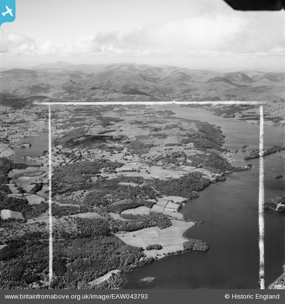
EAW043793 ENGLAND (1952). Countryside between Esthwaite Water and Windermere, Far Sawrey, from the south, 1952. This image was marked by Aerofilms Ltd for photo editing.
© Copyright OpenStreetMap contributors and licensed by the OpenStreetMap Foundation. 2026. Cartography is licensed as CC BY-SA.
Details
| Title | [EAW043793] Countryside between Esthwaite Water and Windermere, Far Sawrey, from the south, 1952. This image was marked by Aerofilms Ltd for photo editing. |
| Reference | EAW043793 |
| Date | 5-June-1952 |
| Link | |
| Place name | FAR SAWREY |
| Parish | CLAIFE |
| District | |
| Country | ENGLAND |
| Easting / Northing | 338020, 493833 |
| Longitude / Latitude | -2.9533463143277, 54.336135521058 |
| National Grid Reference | SD380938 |
Pins

Peter Hoggarth |
Monday 30th of June 2014 11:33:36 PM | |
|
Peter Hoggarth |
Monday 30th of June 2014 11:31:22 PM |