
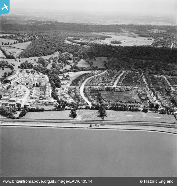
EAW043544 ENGLAND (1952). Housing estate centred around Hawkwood Crescent between King George's Reservoir and Pole Hill, Chingford, from the west, 1952
© Copyright OpenStreetMap contributors and licensed by the OpenStreetMap Foundation. 2025. Cartography is licensed as CC BY-SA.
Details
| Title | [EAW043544] Housing estate centred around Hawkwood Crescent between King George's Reservoir and Pole Hill, Chingford, from the west, 1952 |
| Reference | EAW043544 |
| Date | 4-June-1952 |
| Link | |
| Place name | CHINGFORD |
| Parish | |
| District | |
| Country | ENGLAND |
| Easting / Northing | 537600, 195430 |
| Longitude / Latitude | -0.011259041869788, 51.640349835701 |
| National Grid Reference | TQ376954 |
Pins
 |

redmist |
Tuesday 2nd of November 2021 09:14:34 PM |