
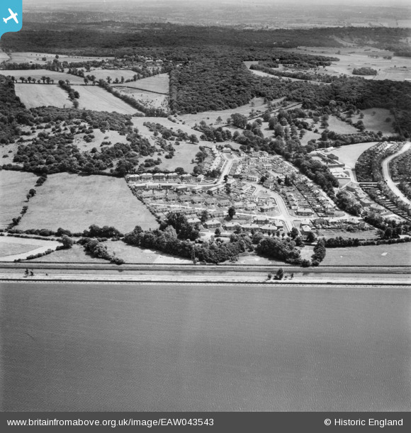
EAW043543 ENGLAND (1952). Housing estate between King George's Reservoir and Yardley Hill, Chingford, from the west, 1952
© Copyright OpenStreetMap contributors and licensed by the OpenStreetMap Foundation. 2025. Cartography is licensed as CC BY-SA.
Details
| Title | [EAW043543] Housing estate between King George's Reservoir and Yardley Hill, Chingford, from the west, 1952 |
| Reference | EAW043543 |
| Date | 4-June-1952 |
| Link | |
| Place name | CHINGFORD |
| Parish | |
| District | |
| Country | ENGLAND |
| Easting / Northing | 537615, 195732 |
| Longitude / Latitude | -0.010923595232707, 51.643060198652 |
| National Grid Reference | TQ376957 |
Pins
 |

redmist |
Tuesday 2nd of November 2021 09:13:09 PM |