
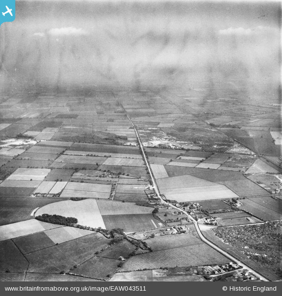
EAW043511 ENGLAND (1952). The village and surrounding countryside, Blaxton, from the north-west, 1952
© Copyright OpenStreetMap contributors and licensed by the OpenStreetMap Foundation. 2026. Cartography is licensed as CC BY-SA.
Details
| Title | [EAW043511] The village and surrounding countryside, Blaxton, from the north-west, 1952 |
| Reference | EAW043511 |
| Date | 21-May-1952 |
| Link | |
| Place name | BLAXTON |
| Parish | BLAXTON |
| District | |
| Country | ENGLAND |
| Easting / Northing | 467196, 400472 |
| Longitude / Latitude | -0.98695511705812, 53.496402294 |
| National Grid Reference | SE672005 |
Pins

rossobantam |
Saturday 3rd of April 2021 03:59:47 PM | |
|
rossobantam |
Saturday 3rd of April 2021 03:58:38 PM | |
|
rossobantam |
Saturday 3rd of April 2021 03:58:00 PM | |
|
rossobantam |
Saturday 3rd of April 2021 03:57:01 PM | |
|
rossobantam |
Saturday 3rd of April 2021 03:55:43 PM | |
|
rossobantam |
Saturday 3rd of April 2021 03:54:44 PM | |
|
rossobantam |
Saturday 3rd of April 2021 03:54:20 PM | |
|
rossobantam |
Saturday 3rd of April 2021 03:53:50 PM |