
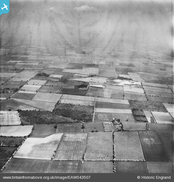
EAW043507 ENGLAND (1952). Levels Lane Plantation, Blaxton Common Farm and Blaxton Common, Blaxton, from the west, 1952
© Copyright OpenStreetMap contributors and licensed by the OpenStreetMap Foundation. 2025. Cartography is licensed as CC BY-SA.
Details
| Title | [EAW043507] Levels Lane Plantation, Blaxton Common Farm and Blaxton Common, Blaxton, from the west, 1952 |
| Reference | EAW043507 |
| Date | 21-May-1952 |
| Link | |
| Place name | BLAXTON |
| Parish | BLAXTON |
| District | |
| Country | ENGLAND |
| Easting / Northing | 467525, 401603 |
| Longitude / Latitude | -0.98175240377472, 53.50652563209 |
| National Grid Reference | SE675016 |
Pins
Be the first to add a comment to this image!