
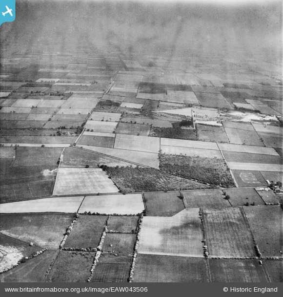
EAW043506 ENGLAND (1952). Levels Lane Plantation and Blaxton Common, Blaxton, from the west, 1952
© Copyright OpenStreetMap contributors and licensed by the OpenStreetMap Foundation. 2025. Cartography is licensed as CC BY-SA.
Details
| Title | [EAW043506] Levels Lane Plantation and Blaxton Common, Blaxton, from the west, 1952 |
| Reference | EAW043506 |
| Date | 21-May-1952 |
| Link | |
| Place name | BLAXTON |
| Parish | BLAXTON |
| District | |
| Country | ENGLAND |
| Easting / Northing | 467515, 401905 |
| Longitude / Latitude | -0.98183811786651, 53.509241301121 |
| National Grid Reference | SE675019 |
Pins
Be the first to add a comment to this image!