
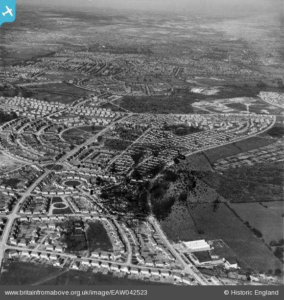
EAW042523 ENGLAND (1952). The residential area surrounding Bramerton Road and Bracebridge Drive, Bilborough, from the south-west, 1952. This image has been produced from a damaged negative.
© Copyright OpenStreetMap contributors and licensed by the OpenStreetMap Foundation. 2026. Cartography is licensed as CC BY-SA.
Details
| Title | [EAW042523] The residential area surrounding Bramerton Road and Bracebridge Drive, Bilborough, from the south-west, 1952. This image has been produced from a damaged negative. |
| Reference | EAW042523 |
| Date | 17-April-1952 |
| Link | |
| Place name | BILBOROUGH |
| Parish | |
| District | |
| Country | ENGLAND |
| Easting / Northing | 451603, 340474 |
| Longitude / Latitude | -1.2317227710785, 52.958838123421 |
| National Grid Reference | SK516405 |
Pins

Post-war prefabs |
Friday 16th of December 2022 10:33:12 AM | |
|
Mythosman |
Thursday 8th of December 2022 09:17:45 AM | |
|
Mythosman |
Thursday 8th of December 2022 09:17:15 AM | |
|
Mythosman |
Thursday 8th of December 2022 09:15:59 AM | |
|
Mythosman |
Thursday 8th of December 2022 09:14:57 AM | |
|
Mythosman |
Thursday 8th of December 2022 09:14:21 AM | |
|
Mythosman |
Thursday 8th of December 2022 09:13:30 AM | |
|
Mythosman |
Thursday 8th of December 2022 09:12:01 AM |