
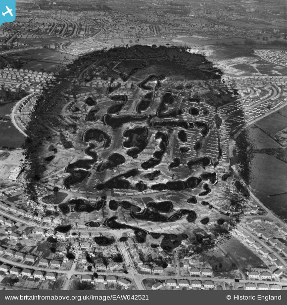
EAW042521 ENGLAND (1952). The residential area surrounding Bracebridge Drive, Bilborough, 1952. This image has been produced from a damaged negative.
© Copyright OpenStreetMap contributors and licensed by the OpenStreetMap Foundation. 2026. Cartography is licensed as CC BY-SA.
Details
| Title | [EAW042521] The residential area surrounding Bracebridge Drive, Bilborough, 1952. This image has been produced from a damaged negative. |
| Reference | EAW042521 |
| Date | 17-April-1952 |
| Link | |
| Place name | BILBOROUGH |
| Parish | |
| District | |
| Country | ENGLAND |
| Easting / Northing | 451723, 340890 |
| Longitude / Latitude | -1.2298699112433, 52.962566180659 |
| National Grid Reference | SK517409 |
Pins

Mister h |
Saturday 26th of July 2025 04:55:45 PM |