
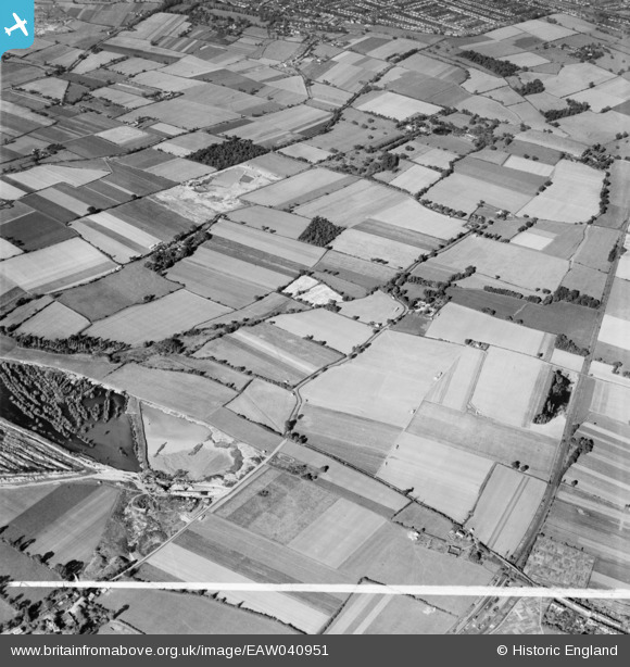
EAW040951 ENGLAND (1951). Fields either side of Dennis Road, South Ockendon, 1951. This image was marked by Aerofilms Ltd for photo editing.
© Copyright OpenStreetMap contributors and licensed by the OpenStreetMap Foundation. 2026. Cartography is licensed as CC BY-SA.
Details
| Title | [EAW040951] Fields either side of Dennis Road, South Ockendon, 1951. This image was marked by Aerofilms Ltd for photo editing. |
| Reference | EAW040951 |
| Date | 17-October-1951 |
| Link | |
| Place name | SOUTH OCKENDON |
| Parish | |
| District | |
| Country | ENGLAND |
| Easting / Northing | 558071, 183299 |
| Longitude / Latitude | 0.2789112282555, 51.525968659323 |
| National Grid Reference | TQ581833 |
Pins

Matt Aldred edob.mattaldred.com |
Friday 8th of March 2024 07:52:54 PM |