
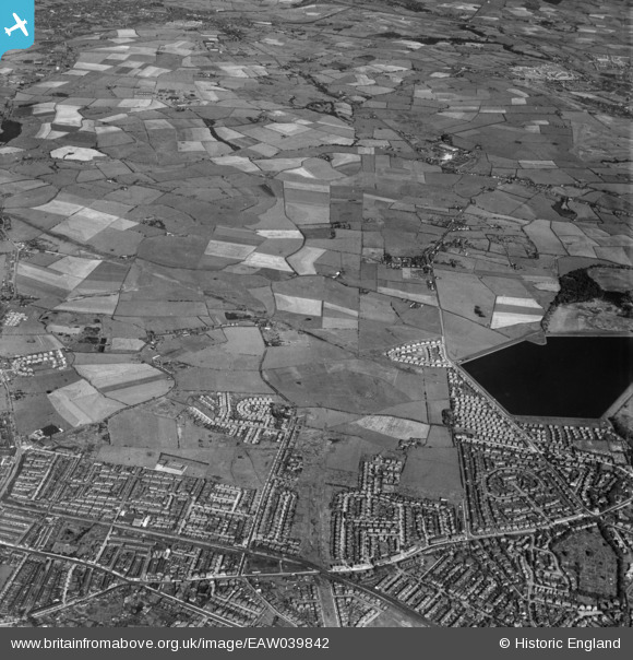
EAW039842 ENGLAND (1951). The Victoria Estate, Kirkhams and environs, Whitefield, 1951
© Copyright OpenStreetMap contributors and licensed by the OpenStreetMap Foundation. 2026. Cartography is licensed as CC BY-SA.
Details
| Title | [EAW039842] The Victoria Estate, Kirkhams and environs, Whitefield, 1951 |
| Reference | EAW039842 |
| Date | 15-September-1951 |
| Link | |
| Place name | WHITEFIELD |
| Parish | |
| District | |
| Country | ENGLAND |
| Easting / Northing | 382385, 405870 |
| Longitude / Latitude | -2.2658881369397, 53.548924373329 |
| National Grid Reference | SD824059 |
Pins

Paul Williams |
Tuesday 31st of December 2024 08:10:22 PM | |
|
Paul Williams |
Tuesday 31st of December 2024 08:10:06 PM | |
|
Condor |
Thursday 17th of November 2016 03:39:39 PM | |
|
Condor |
Thursday 17th of November 2016 03:37:33 PM |