
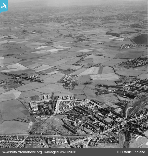
EAW039831 ENGLAND (1951). New housing by The Elms and surrounding fields, Whitefield, from the north-west, 1951
© Copyright OpenStreetMap contributors and licensed by the OpenStreetMap Foundation. 2026. Cartography is licensed as CC BY-SA.
Details
| Title | [EAW039831] New housing by The Elms and surrounding fields, Whitefield, from the north-west, 1951 |
| Reference | EAW039831 |
| Date | 15-September-1951 |
| Link | |
| Place name | WHITEFIELD |
| Parish | |
| District | |
| Country | ENGLAND |
| Easting / Northing | 380756, 406453 |
| Longitude / Latitude | -2.2905124995534, 53.554107928229 |
| National Grid Reference | SD808065 |
Pins

Montgomery |
Wednesday 4th of December 2019 11:30:42 PM | |
|
Paul Williams |
Tuesday 30th of July 2019 08:52:10 PM | |
|
Paul Williams |
Tuesday 30th of July 2019 08:51:07 PM | |
|
redmist |
Friday 28th of December 2018 08:07:03 PM | |
|
boltie |
Tuesday 7th of July 2015 01:17:59 AM | |
|
boltie |
Tuesday 7th of July 2015 01:16:44 AM | |
|
boltie |
Monday 5th of May 2014 08:35:34 AM | |
|
boltie |
Monday 5th of May 2014 08:33:19 AM | |
|
boltie |
Monday 5th of May 2014 08:32:22 AM | |
|
boltie |
Monday 5th of May 2014 08:30:23 AM |