
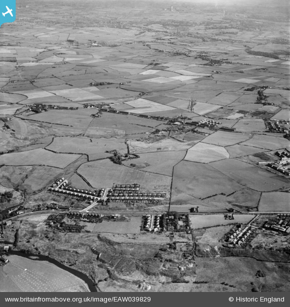
EAW039829 ENGLAND (1951). New housing at Sunny Bank and surrounding fields, Whitefield, from the north-west, 1951
© Copyright OpenStreetMap contributors and licensed by the OpenStreetMap Foundation. 2026. Cartography is licensed as CC BY-SA.
Details
| Title | [EAW039829] New housing at Sunny Bank and surrounding fields, Whitefield, from the north-west, 1951 |
| Reference | EAW039829 |
| Date | 15-September-1951 |
| Link | |
| Place name | WHITEFIELD |
| Parish | |
| District | |
| Country | ENGLAND |
| Easting / Northing | 380740, 407235 |
| Longitude / Latitude | -2.2908022367423, 53.561136941814 |
| National Grid Reference | SD807072 |
Pins

Oatesy |
Friday 26th of June 2026 11:39:15 PM | |
|
dave2112 |
Wednesday 16th of November 2022 07:01:40 PM | |
|
redmist |
Friday 28th of December 2018 11:48:46 AM | |
|
boltie |
Saturday 4th of March 2017 01:49:06 AM | |
|
boltie |
Monday 5th of May 2014 07:49:41 AM | |
|
boltie |
Monday 5th of May 2014 07:48:33 AM | |
|
boltie |
Monday 5th of May 2014 07:47:47 AM | |
|
boltie |
Monday 5th of May 2014 07:45:44 AM | |
|
boltie |
Monday 5th of May 2014 07:41:57 AM |