
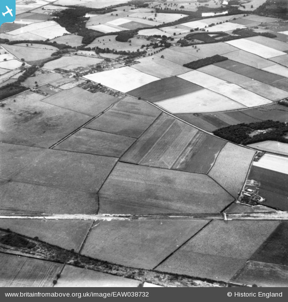
EAW038732 ENGLAND (1951). Papplewick Moor, Papplewick, 1951. This image has been produced from a print.
© Copyright OpenStreetMap contributors and licensed by the OpenStreetMap Foundation. 2026. Cartography is licensed as CC BY-SA.
Details
| Title | [EAW038732] Papplewick Moor, Papplewick, 1951. This image has been produced from a print. |
| Reference | EAW038732 |
| Date | 14-August-1951 |
| Link | |
| Place name | PAPPLEWICK |
| Parish | PAPPLEWICK |
| District | |
| Country | ENGLAND |
| Easting / Northing | 455746, 350678 |
| Longitude / Latitude | -1.1682864218911, 53.050149941854 |
| National Grid Reference | SK557507 |
