
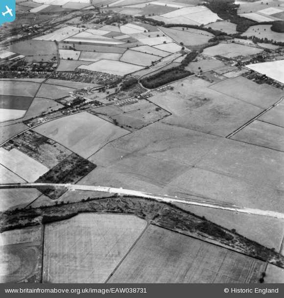
EAW038731 ENGLAND (1951). Moor Road and Congel Hill, Papplewick, 1951. This image has been produced from a print.
© Copyright OpenStreetMap contributors and licensed by the OpenStreetMap Foundation. 2026. Cartography is licensed as CC BY-SA.
Details
| Title | [EAW038731] Moor Road and Congel Hill, Papplewick, 1951. This image has been produced from a print. |
| Reference | EAW038731 |
| Date | 14-August-1951 |
| Link | |
| Place name | PAPPLEWICK |
| Parish | PAPPLEWICK |
| District | |
| Country | ENGLAND |
| Easting / Northing | 455341, 350151 |
| Longitude / Latitude | -1.1744187457588, 53.045454711274 |
| National Grid Reference | SK553502 |
Pins

Dave |
Saturday 9th of November 2019 05:16:14 PM |