
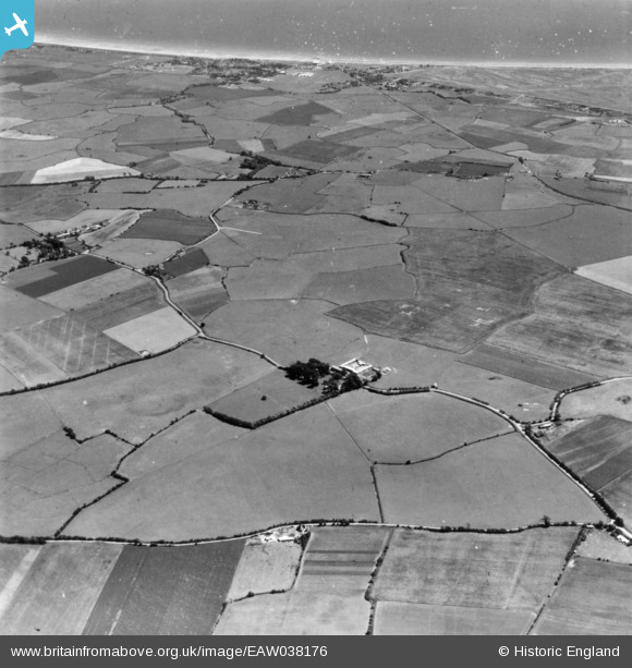
EAW038176 ENGLAND (1951). Honeychild Manor and Romney Marsh, St Mary in the Marsh, 1951. This image has been produced from a damaged print.
© Copyright OpenStreetMap contributors and licensed by the OpenStreetMap Foundation. 2026. Cartography is licensed as CC BY-SA.
Details
| Title | [EAW038176] Honeychild Manor and Romney Marsh, St Mary in the Marsh, 1951. This image has been produced from a damaged print. |
| Reference | EAW038176 |
| Date | 28-July-1951 |
| Link | |
| Place name | ST MARY IN THE MARSH |
| Parish | ST. MARY IN THE MARSH |
| District | |
| Country | ENGLAND |
| Easting / Northing | 606029, 127292 |
| Longitude / Latitude | 0.93718075785417, 51.00751735596 |
| National Grid Reference | TR060273 |
Pins

Matt Aldred edob.mattaldred.com |
Friday 7th of February 2025 04:15:58 PM |