
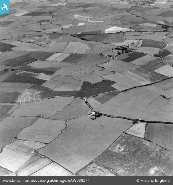
EAW038174 ENGLAND (1951). Romney Marsh and the village, St Mary in the Marsh, 1951. This image has been produced from a print.
© Copyright OpenStreetMap contributors and licensed by the OpenStreetMap Foundation. 2026. Cartography is licensed as CC BY-SA.
Details
| Title | [EAW038174] Romney Marsh and the village, St Mary in the Marsh, 1951. This image has been produced from a print. |
| Reference | EAW038174 |
| Date | 28-July-1951 |
| Link | |
| Place name | ST MARY IN THE MARSH |
| Parish | ST. MARY IN THE MARSH |
| District | |
| Country | ENGLAND |
| Easting / Northing | 605693, 128280 |
| Longitude / Latitude | 0.93295754205903, 51.016511292053 |
| National Grid Reference | TR057283 |
Pins

Matt Aldred edob.mattaldred.com |
Thursday 6th of March 2025 05:30:58 PM | |
|
Matt Aldred edob.mattaldred.com |
Friday 7th of February 2025 04:15:18 PM |