
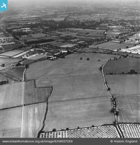
EAW037269 ENGLAND (1951). Olivers Lane and Gosbecks Iron Age and Romano-British site, Shrub End, 1951. This image has been produced from a print.
© Copyright OpenStreetMap contributors and licensed by the OpenStreetMap Foundation. 2026. Cartography is licensed as CC BY-SA.
Details
| Title | [EAW037269] Olivers Lane and Gosbecks Iron Age and Romano-British site, Shrub End, 1951. This image has been produced from a print. |
| Reference | EAW037269 |
| Date | 21-June-1951 |
| Link | |
| Place name | SHRUB END |
| Parish | |
| District | |
| Country | ENGLAND |
| Easting / Northing | 596931, 222671 |
| Longitude / Latitude | 0.8607114461629, 51.867359472439 |
| National Grid Reference | TL969227 |
Pins
Be the first to add a comment to this image!