
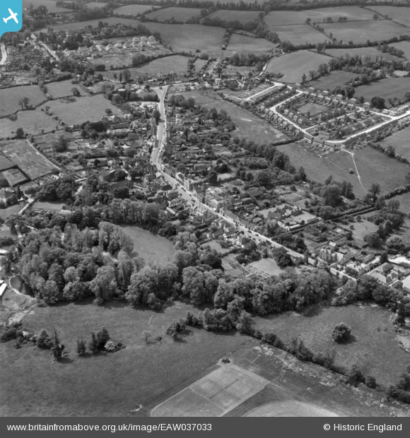
EAW037033 ENGLAND (1951). Ongar Castle and the town, Chipping Ongar, 1951. This image has been produced from a print.
© Copyright OpenStreetMap contributors and licensed by the OpenStreetMap Foundation. 2024. Cartography is licensed as CC BY-SA.
Nearby Images (5)
EAW037033

EAW037034

EAW037032

EAW001542

EAW001543

Details
| Title | [EAW037033] Ongar Castle and the town, Chipping Ongar, 1951. This image has been produced from a print. |
| Reference | EAW037033 |
| Date | 6-June-1951 |
| Link | |
| Place name | CHIPPING ONGAR |
| Parish | ONGAR |
| District | |
| Country | ENGLAND |
| Easting / Northing | 555269, 203035 |
| Longitude / Latitude | 0.24729365690877, 51.704082643516 |
| National Grid Reference | TL553030 |
Pins
Be the first to add a comment to this image!


