
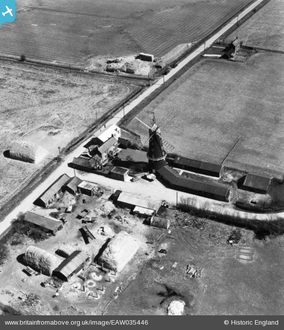
EAW035446 ENGLAND (1951). Addlethorpe Mill, Addlethorpe, 1951. This image has been produced from a print.
© Copyright OpenStreetMap contributors and licensed by the OpenStreetMap Foundation. 2026. Cartography is licensed as CC BY-SA.
Details
| Title | [EAW035446] Addlethorpe Mill, Addlethorpe, 1951. This image has been produced from a print. |
| Reference | EAW035446 |
| Date | 17-April-1951 |
| Link | |
| Place name | ADDLETHORPE |
| Parish | ADDLETHORPE |
| District | |
| Country | ENGLAND |
| Easting / Northing | 555116, 367630 |
| Longitude / Latitude | 0.32157620930907, 53.182833618181 |
| National Grid Reference | TF551676 |
Pins
Be the first to add a comment to this image!