
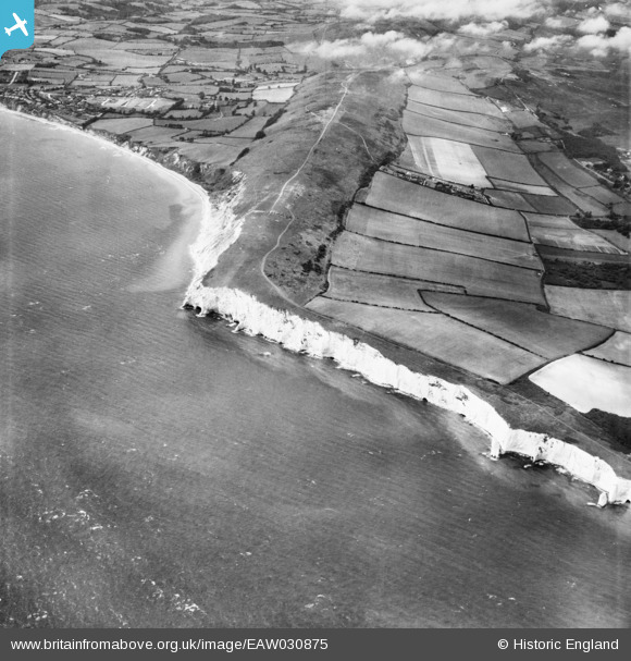
EAW030875 ENGLAND (1950). Ballard Down, Ballard Point and The Pinnacles, Studland, 1950
© Copyright OpenStreetMap contributors and licensed by the OpenStreetMap Foundation. 2026. Cartography is licensed as CC BY-SA.
Details
| Title | [EAW030875] Ballard Down, Ballard Point and The Pinnacles, Studland, 1950 |
| Reference | EAW030875 |
| Date | 13-July-1950 |
| Link | |
| Place name | STUDLAND |
| Parish | STUDLAND |
| District | |
| Country | ENGLAND |
| Easting / Northing | 404890, 81560 |
| Longitude / Latitude | -1.9308489151493, 50.633131775971 |
| National Grid Reference | SZ049816 |
Pins
Be the first to add a comment to this image!