
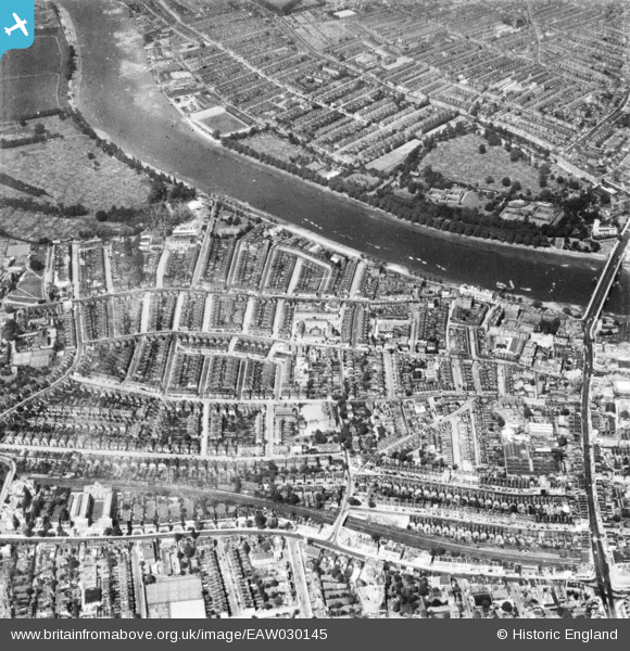
EAW030145 ENGLAND (1950). Residential streets between the River Thames and Richmond Road, Putney, 1950. This image has been produced from a print.
© Copyright OpenStreetMap contributors and licensed by the OpenStreetMap Foundation. 2026. Cartography is licensed as CC BY-SA.
Details
| Title | [EAW030145] Residential streets between the River Thames and Richmond Road, Putney, 1950. This image has been produced from a print. |
| Reference | EAW030145 |
| Date | 6-June-1950 |
| Link | |
| Place name | PUTNEY |
| Parish | |
| District | |
| Country | ENGLAND |
| Easting / Northing | 523707, 175739 |
| Longitude / Latitude | -0.2188723061634, 51.466594193021 |
| National Grid Reference | TQ237757 |
Pins

redmist |
Friday 26th of November 2021 02:35:46 PM | |
|
redmist |
Friday 26th of November 2021 02:35:27 PM | |
|
redmist |
Friday 26th of November 2021 02:34:54 PM | |
|
Starcross |
Saturday 23rd of November 2019 09:53:17 PM |