
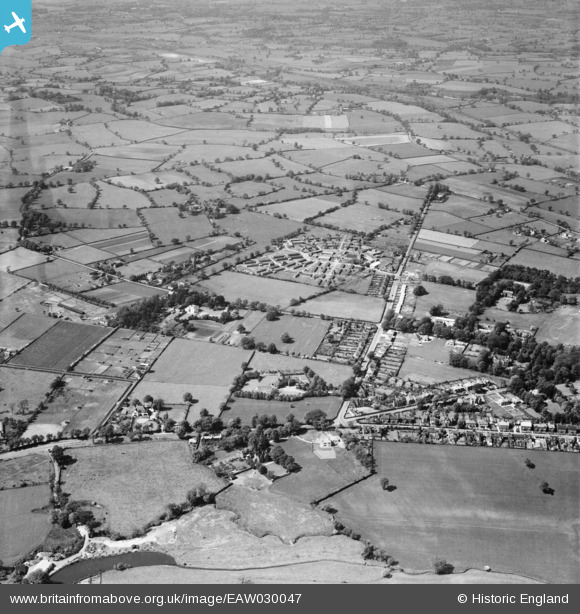
EAW030047 ENGLAND (1950). Hassall Road, Cheshire County Training College and environs, Alsager, 1950
© Copyright OpenStreetMap contributors and licensed by the OpenStreetMap Foundation. 2025. Cartography is licensed as CC BY-SA.
Details
| Title | [EAW030047] Hassall Road, Cheshire County Training College and environs, Alsager, 1950 |
| Reference | EAW030047 |
| Date | 1-June-1950 |
| Link | |
| Place name | ALSAGER |
| Parish | ALSAGER |
| District | |
| Country | ENGLAND |
| Easting / Northing | 378553, 355763 |
| Longitude / Latitude | -2.3203376024536, 53.09834062276 |
| National Grid Reference | SJ786558 |
Pins
 Sidecar Steve |
Wednesday 12th of November 2014 11:33:54 PM | |
Sidecar Steve |
Wednesday 12th of November 2014 11:33:52 PM |