
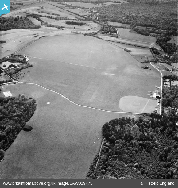
EAW029475 ENGLAND (1950). Denham Aerodrome, Denham, 1950
© Copyright OpenStreetMap contributors and licensed by the OpenStreetMap Foundation. 2026. Cartography is licensed as CC BY-SA.
Details
| Title | [EAW029475] Denham Aerodrome, Denham, 1950 |
| Reference | EAW029475 |
| Date | 12-May-1950 |
| Link | |
| Place name | DENHAM |
| Parish | DENHAM |
| District | |
| Country | ENGLAND |
| Easting / Northing | 503315, 188908 |
| Longitude / Latitude | -0.50849431998922, 51.589067257469 |
| National Grid Reference | TQ033889 |
Pins

Matt Aldred edob.mattaldred.com |
Tuesday 9th of March 2021 10:25:25 AM | |

moses72 |
Tuesday 3rd of November 2015 05:44:06 PM | |
|
moses72 |
Tuesday 3rd of November 2015 05:43:25 PM | |
|
moses72 |
Monday 13th of October 2014 12:02:11 PM |