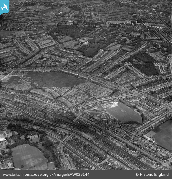
EAW029144 ENGLAND (1950). Allotments between Norbury Avenue and Green Lane (now the site of Norbury Park), Norbury, 1950
© Copyright OpenStreetMap contributors and licensed by the OpenStreetMap Foundation. 2024. Cartography is licensed as CC BY-SA.
Details
| Title | [EAW029144] Allotments between Norbury Avenue and Green Lane (now the site of Norbury Park), Norbury, 1950 |
| Reference | EAW029144 |
| Date | 10-May-1950 |
| Link | |
| Place name | NORBURY |
| Parish | |
| District | |
| Country | ENGLAND |
| Easting / Northing | 531241, 169874 |
| Longitude / Latitude | -0.11263425629445, 51.412183933431 |
| National Grid Reference | TQ312699 |


