
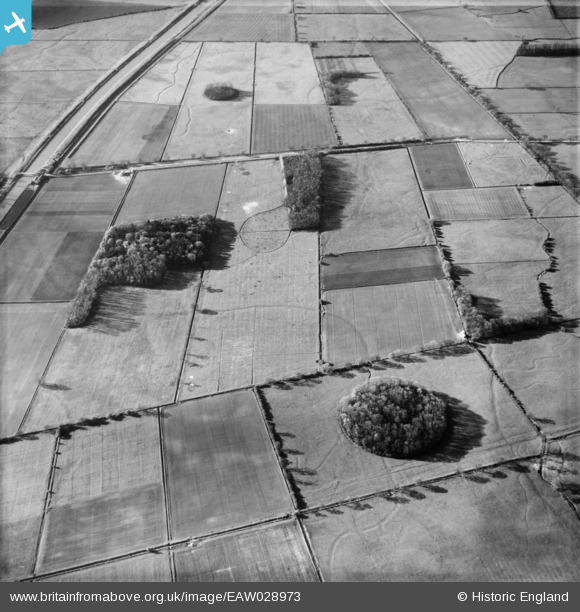
EAW028973 ENGLAND (1950). Gorse Covert, Four Acre Clump and the surrounding countryside, Saxby All Saints, 1950
© Copyright OpenStreetMap contributors and licensed by the OpenStreetMap Foundation. 2026. Cartography is licensed as CC BY-SA.
Details
| Title | [EAW028973] Gorse Covert, Four Acre Clump and the surrounding countryside, Saxby All Saints, 1950 |
| Reference | EAW028973 |
| Date | 5-May-1950 |
| Link | |
| Place name | SAXBY ALL SAINTS |
| Parish | SAXBY ALL SAINTS |
| District | |
| Country | ENGLAND |
| Easting / Northing | 497800, 416175 |
| Longitude / Latitude | -0.52079576790119, 53.63271578969 |
| National Grid Reference | SE978162 |
Pins
Be the first to add a comment to this image!