
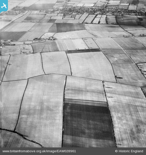
EAW028961 ENGLAND (1950). Roxby Grange and the surrounding countryside, Roxby, 1950
© Copyright OpenStreetMap contributors and licensed by the OpenStreetMap Foundation. 2026. Cartography is licensed as CC BY-SA.
Details
| Title | [EAW028961] Roxby Grange and the surrounding countryside, Roxby, 1950 |
| Reference | EAW028961 |
| Date | 5-May-1950 |
| Link | |
| Place name | ROXBY |
| Parish | ROXBY CUM RISBY |
| District | |
| Country | ENGLAND |
| Easting / Northing | 493174, 416592 |
| Longitude / Latitude | -0.59061427286632, 53.637307135399 |
| National Grid Reference | SE932166 |
Pins
Be the first to add a comment to this image!