
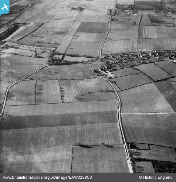
EAW028958 ENGLAND (1950). The village and the surrounding countryside, Roxby, 1950
© Copyright OpenStreetMap contributors and licensed by the OpenStreetMap Foundation. 2026. Cartography is licensed as CC BY-SA.
Details
| Title | [EAW028958] The village and the surrounding countryside, Roxby, 1950 |
| Reference | EAW028958 |
| Date | 5-May-1950 |
| Link | |
| Place name | ROXBY |
| Parish | ROXBY CUM RISBY |
| District | |
| Country | ENGLAND |
| Easting / Northing | 491779, 416447 |
| Longitude / Latitude | -0.61175150627878, 53.636250593593 |
| National Grid Reference | SE918164 |
Pins

redmist |
Sunday 3rd of February 2019 11:18:20 AM |