
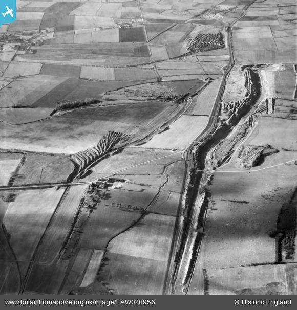
EAW028956 ENGLAND (1950). Ironstone Quarries surrounding Bagmoor Farm, Burton upon Stather, 1950
© Copyright OpenStreetMap contributors and licensed by the OpenStreetMap Foundation. 2026. Cartography is licensed as CC BY-SA.
Details
| Title | [EAW028956] Ironstone Quarries surrounding Bagmoor Farm, Burton upon Stather, 1950 |
| Reference | EAW028956 |
| Date | 5-May-1950 |
| Link | |
| Place name | BURTON UPON STATHER |
| Parish | BURTON UPON STATHER |
| District | |
| Country | ENGLAND |
| Easting / Northing | 490509, 416596 |
| Longitude / Latitude | -0.63091208304432, 53.637810795913 |
| National Grid Reference | SE905166 |
Pins
Be the first to add a comment to this image!