
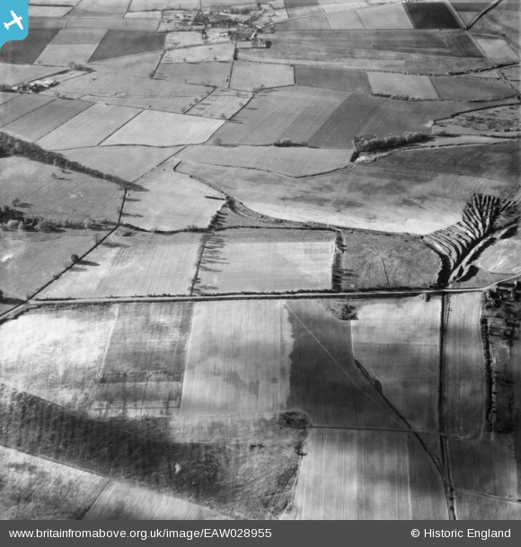
EAW028955 ENGLAND (1950). Fields to the east of Normanby Park, Burton upon Stather, 1950
© Copyright OpenStreetMap contributors and licensed by the OpenStreetMap Foundation. 2026. Cartography is licensed as CC BY-SA.
Details
| Title | [EAW028955] Fields to the east of Normanby Park, Burton upon Stather, 1950 |
| Reference | EAW028955 |
| Date | 5-May-1950 |
| Link | |
| Place name | BURTON UPON STATHER |
| Parish | BURTON UPON STATHER |
| District | |
| Country | ENGLAND |
| Easting / Northing | 489950, 416315 |
| Longitude / Latitude | -0.63944645865264, 53.635381913031 |
| National Grid Reference | SE900163 |
Pins
Be the first to add a comment to this image!