
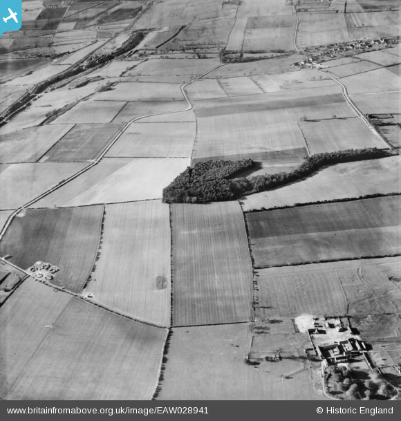
EAW028941 ENGLAND (1950). The Buttonhook and the surrounding countryside, Roxby, 1950
© Copyright OpenStreetMap contributors and licensed by the OpenStreetMap Foundation. 2025. Cartography is licensed as CC BY-SA.
Details
| Title | [EAW028941] The Buttonhook and the surrounding countryside, Roxby, 1950 |
| Reference | EAW028941 |
| Date | 5-May-1950 |
| Link | |
| Place name | ROXBY |
| Parish | ROXBY CUM RISBY |
| District | |
| Country | ENGLAND |
| Easting / Northing | 491646, 415338 |
| Longitude / Latitude | -0.61408929867059, 53.626307727368 |
| National Grid Reference | SE916153 |
Pins

redmist |
Thursday 31st of March 2022 08:39:53 PM | |
|
redmist |
Thursday 31st of March 2022 08:37:48 PM | |
|
DaveH |
Thursday 28th of November 2019 03:40:33 PM | |
|
DaveH |
Thursday 28th of November 2019 03:40:09 PM | |
|
DaveH |
Thursday 28th of November 2019 03:39:33 PM |