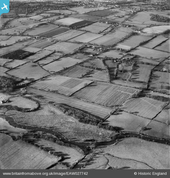
EAW027742 ENGLAND (1949). Countryside between the River Lodden and Lower Earley Cottages, Lower Earley, 1949
© Copyright OpenStreetMap contributors and licensed by the OpenStreetMap Foundation. 2026. Cartography is licensed as CC BY-SA.
Details
| Title | [EAW027742] Countryside between the River Lodden and Lower Earley Cottages, Lower Earley, 1949 |
| Reference | EAW027742 |
| Date | 2-December-1949 |
| Link | |
| Place name | LOWER EARLEY |
| Parish | EARLEY |
| District | |
| Country | ENGLAND |
| Easting / Northing | 475340, 169606 |
| Longitude / Latitude | -0.91638697524757, 51.419961803615 |
| National Grid Reference | SU753696 |
Pins

clem |
Saturday 23rd of February 2019 02:15:09 PM | |

clem |
Saturday 23rd of February 2019 12:41:32 PM | |

clem |
Saturday 23rd of February 2019 12:40:10 PM | |

mjmuk |
Monday 2nd of March 2015 03:15:02 PM | |

mjmuk |
Monday 2nd of March 2015 03:14:18 PM | |

mjmuk |
Monday 2nd of March 2015 03:02:00 PM | |

mjmuk |
Monday 2nd of March 2015 02:57:37 PM | |

mjmuk |
Monday 2nd of March 2015 12:59:05 PM | |

designking |
Thursday 18th of September 2014 08:45:32 PM | |

designking |
Monday 15th of September 2014 11:44:06 PM |

