
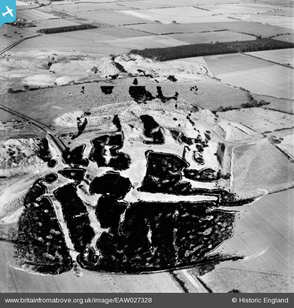
EAW027328 ENGLAND (1949). The Brenkley Opencast Coal Mining Workings, Brenkley, 1949. This image has been produced from a damaged negative.
© Copyright OpenStreetMap contributors and licensed by the OpenStreetMap Foundation. 2026. Cartography is licensed as CC BY-SA.
Details
| Title | [EAW027328] The Brenkley Opencast Coal Mining Workings, Brenkley, 1949. This image has been produced from a damaged negative. |
| Reference | EAW027328 |
| Date | 21-October-1949 |
| Link | |
| Place name | BRENKLEY |
| Parish | DINNINGTON |
| District | |
| Country | ENGLAND |
| Easting / Northing | 421067, 575436 |
| Longitude / Latitude | -1.6700354098164, 55.072873776332 |
| National Grid Reference | NZ211754 |
Pins
Be the first to add a comment to this image!