
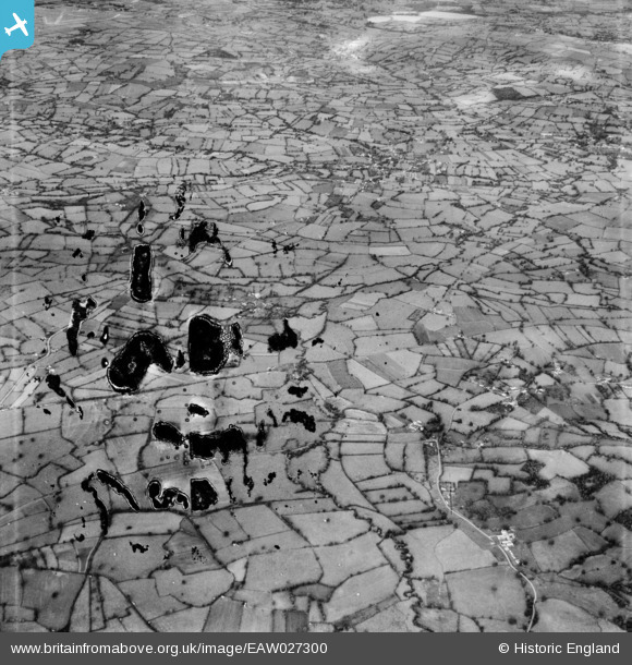
EAW027300 ENGLAND (1949). The site of Chew Valley Lake, North Widcombe, from the south, 1949. This image has been produced from a damaged negative.
© Copyright OpenStreetMap contributors and licensed by the OpenStreetMap Foundation. 2026. Cartography is licensed as CC BY-SA.
Details
| Title | [EAW027300] The site of Chew Valley Lake, North Widcombe, from the south, 1949. This image has been produced from a damaged negative. |
| Reference | EAW027300 |
| Date | 19-October-1949 |
| Link | |
| Place name | NORTH WIDCOMBE |
| Parish | WEST HARPTREE |
| District | |
| Country | ENGLAND |
| Easting / Northing | 357079, 157988 |
| Longitude / Latitude | -2.6159681136591, 51.318873534667 |
| National Grid Reference | ST571580 |
Pins

Dennis |
Tuesday 16th of March 2021 09:01:18 AM | |
|
redmist |
Saturday 31st of October 2020 09:21:25 PM | |
|
redmist |
Saturday 31st of October 2020 11:52:08 AM | |
|
redmist |
Saturday 31st of October 2020 11:50:53 AM | |

Class31 |
Monday 17th of March 2014 11:35:22 AM |