
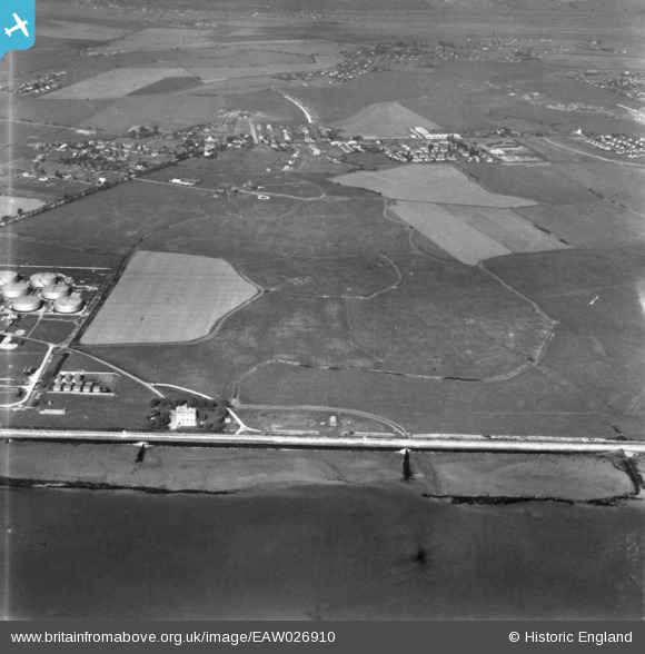
EAW026910 ENGLAND (1949). The southern shore of the island, Canvey Island, 1949. This image has been produced from a print.
© Copyright OpenStreetMap contributors and licensed by the OpenStreetMap Foundation. 2025. Cartography is licensed as CC BY-SA.
Details
| Title | [EAW026910] The southern shore of the island, Canvey Island, 1949. This image has been produced from a print. |
| Reference | EAW026910 |
| Date | 2-October-1949 |
| Link | |
| Place name | CANVEY ISLAND |
| Parish | CANVEY ISLAND |
| District | |
| Country | ENGLAND |
| Easting / Northing | 578062, 182359 |
| Longitude / Latitude | 0.56635308083629, 51.511574775721 |
| National Grid Reference | TQ781824 |
Pins

redmist |
Monday 30th of January 2023 09:19:47 PM | |
|
redmist |
Monday 30th of January 2023 09:06:26 PM | |
|
redmist |
Monday 30th of January 2023 09:04:26 PM | |
|
redmist |
Monday 30th of January 2023 09:03:56 PM | |
|
redmist |
Monday 30th of January 2023 08:59:39 PM |