
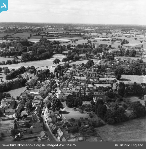
EAW025675 ENGLAND (1949). The High Street and town looking towards the castle, Kenilworth, from the north-east, 1949. This image has been produced from a print.
© Copyright OpenStreetMap contributors and licensed by the OpenStreetMap Foundation. 2025. Cartography is licensed as CC BY-SA.
Details
| Title | [EAW025675] The High Street and town looking towards the castle, Kenilworth, from the north-east, 1949. This image has been produced from a print. |
| Reference | EAW025675 |
| Date | 4-August-1949 |
| Link | |
| Place name | KENILWORTH |
| Parish | KENILWORTH |
| District | |
| Country | ENGLAND |
| Easting / Northing | 428622, 272586 |
| Longitude / Latitude | -1.5797484951765, 52.35021030173 |
| National Grid Reference | SP286726 |
Pins
Be the first to add a comment to this image!