
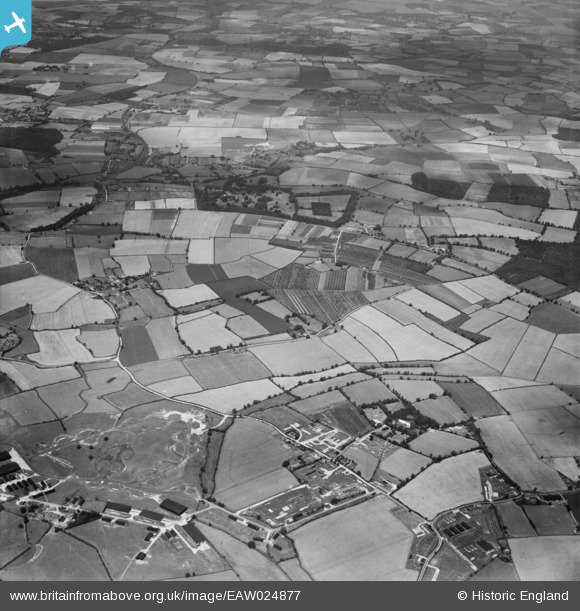
EAW024877 ENGLAND (1949). Elsenham Hall Estate, RAF Stansted Mountfichet and surrounding countryside, Elsenham, from the south-east, 1949
© Copyright OpenStreetMap contributors and licensed by the OpenStreetMap Foundation. 2026. Cartography is licensed as CC BY-SA.
Details
| Title | [EAW024877] Elsenham Hall Estate, RAF Stansted Mountfichet and surrounding countryside, Elsenham, from the south-east, 1949 |
| Reference | EAW024877 |
| Date | 21-July-1949 |
| Link | |
| Place name | ELSENHAM |
| Parish | ELSENHAM |
| District | |
| Country | ENGLAND |
| Easting / Northing | 555026, 223927 |
| Longitude / Latitude | 0.25312088630203, 51.891866964811 |
| National Grid Reference | TL550239 |
Pins
Be the first to add a comment to this image!