
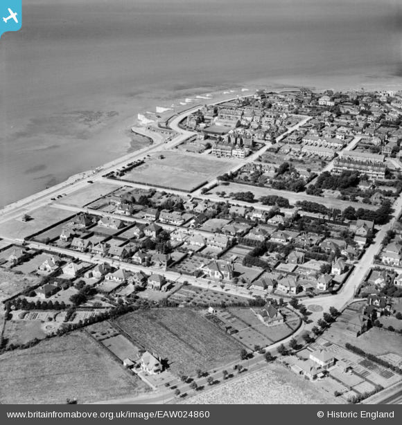
EAW024860 ENGLAND (1949). Canute Road and environs, Birchington, 1949
© Copyright OpenStreetMap contributors and licensed by the OpenStreetMap Foundation. 2024. Cartography is licensed as CC BY-SA.
Nearby Images (3)
EAW024860

EPW035486

EPW054076

Details
| Title | [EAW024860] Canute Road and environs, Birchington, 1949 |
| Reference | EAW024860 |
| Date | 12-July-1949 |
| Link | |
| Place name | BIRCHINGTON |
| Parish | BIRCHINGTON |
| District | |
| Country | ENGLAND |
| Easting / Northing | 628697, 169503 |
| Longitude / Latitude | 1.2866831077369, 51.377936489052 |
| National Grid Reference | TR287695 |
Pins
Be the first to add a comment to this image!


