
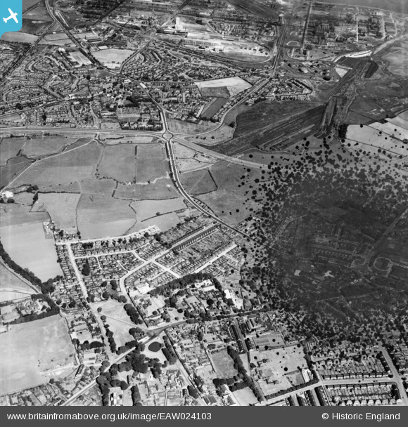
EAW024103 ENGLAND (1949). The residential area surrounding Norton, Stockton-on-Tees, 1949. This image has been produced from a damaged negative.
© Copyright OpenStreetMap contributors and licensed by the OpenStreetMap Foundation. 2026. Cartography is licensed as CC BY-SA.
Details
| Title | [EAW024103] The residential area surrounding Norton, Stockton-on-Tees, 1949. This image has been produced from a damaged negative. |
| Reference | EAW024103 |
| Date | 22-June-1949 |
| Link | |
| Place name | STOCKTON-ON-TEES |
| Parish | |
| District | |
| Country | ENGLAND |
| Easting / Northing | 445088, 521987 |
| Longitude / Latitude | -1.3021611499828, 54.590938218119 |
| National Grid Reference | NZ451220 |
Pins

J May |
Monday 14th of August 2023 05:53:40 PM | |
|
Wayne23 |
Saturday 18th of March 2023 09:36:14 PM | |
|
J May |
Monday 30th of January 2023 02:08:55 PM | |
|
J May |
Monday 30th of January 2023 02:01:59 PM | |
|
cptpies |
Thursday 20th of December 2018 12:39:09 PM | |
|
Jlittlefair |
Monday 15th of January 2018 06:05:56 PM | |
|
J May |
Monday 27th of March 2017 07:57:44 PM | |
|
J May |
Monday 27th of March 2017 07:53:39 PM | |
|
J May |
Monday 27th of March 2017 07:40:41 PM |