
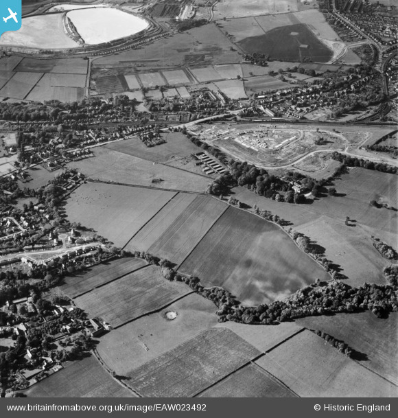
EAW023492 ENGLAND (1949). Hartford Manor and the early stages of construction work at Greenbank Bank Lane, Hartford, 1949
© Copyright OpenStreetMap contributors and licensed by the OpenStreetMap Foundation. 2026. Cartography is licensed as CC BY-SA.
Details
| Title | [EAW023492] Hartford Manor and the early stages of construction work at Greenbank Bank Lane, Hartford, 1949 |
| Reference | EAW023492 |
| Date | 26-May-1949 |
| Link | |
| Place name | HARTFORD |
| Parish | HARTFORD |
| District | |
| Country | ENGLAND |
| Easting / Northing | 364424, 372393 |
| Longitude / Latitude | -2.5332140645022, 53.24708220207 |
| National Grid Reference | SJ644724 |
Pins

alexbirtwisle |
Friday 9th of May 2025 10:25:17 AM |
