
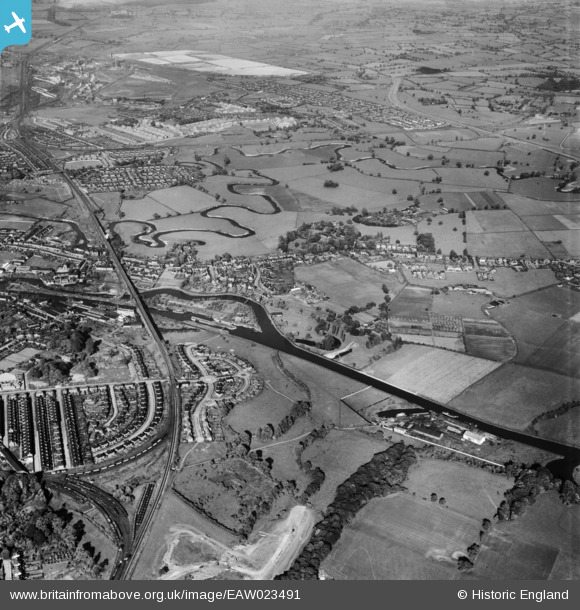
EAW023491 ENGLAND (1949). Hunt's Lock and environs, Northwich, from the west, 1949
© Copyright OpenStreetMap contributors and licensed by the OpenStreetMap Foundation. 2026. Cartography is licensed as CC BY-SA.
Details
| Title | [EAW023491] Hunt's Lock and environs, Northwich, from the west, 1949 |
| Reference | EAW023491 |
| Date | 26-May-1949 |
| Link | |
| Place name | NORTHWICH |
| Parish | NORTHWICH |
| District | |
| Country | ENGLAND |
| Easting / Northing | 365326, 372758 |
| Longitude / Latitude | -2.5197352413442, 53.250423054834 |
| National Grid Reference | SJ653728 |
