
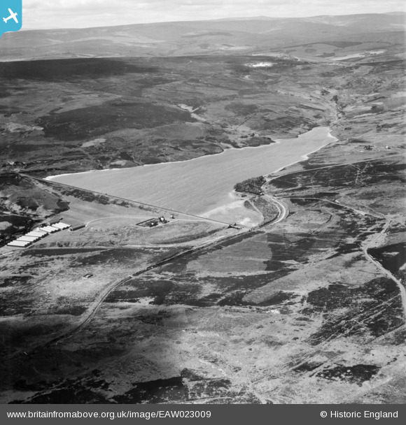
EAW023009 ENGLAND (1949). Waskerley Reservoir, Muggleswick Common, from the north-east, 1949
© Copyright OpenStreetMap contributors and licensed by the OpenStreetMap Foundation. 2026. Cartography is licensed as CC BY-SA.
Details
| Title | [EAW023009] Waskerley Reservoir, Muggleswick Common, from the north-east, 1949 |
| Reference | EAW023009 |
| Date | 9-May-1949 |
| Link | |
| Place name | MUGGLESWICK COMMON |
| Parish | MUGGLESWICK |
| District | |
| Country | ENGLAND |
| Easting / Northing | 402752, 544735 |
| Longitude / Latitude | -1.9571901333841, 54.797393648866 |
| National Grid Reference | NZ028447 |
Pins
Be the first to add a comment to this image!