
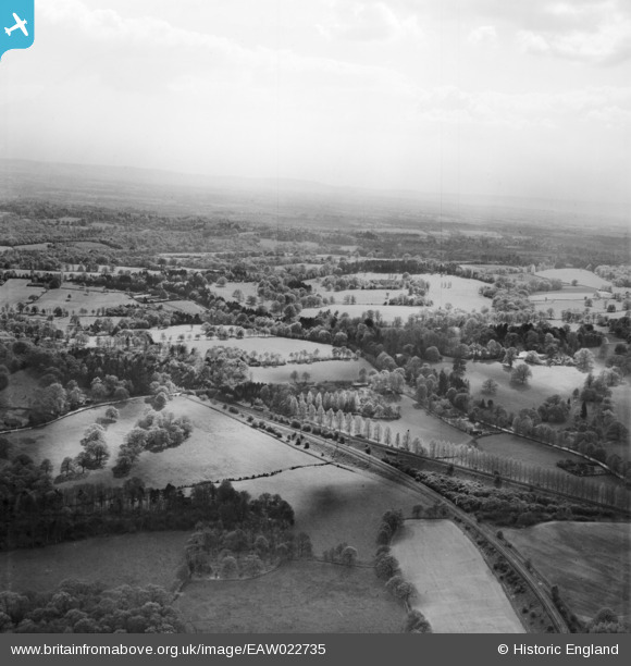
EAW022735 ENGLAND (1949). Looking towards to the South Downs from Boldre Hill, Ardingly, from the north-east, 1949
© Copyright OpenStreetMap contributors and licensed by the OpenStreetMap Foundation. 2026. Cartography is licensed as CC BY-SA.
Details
| Title | [EAW022735] Looking towards to the South Downs from Boldre Hill, Ardingly, from the north-east, 1949 |
| Reference | EAW022735 |
| Date | 29-April-1949 |
| Link | |
| Place name | ARDINGLY |
| Parish | ARDINGLY |
| District | |
| Country | ENGLAND |
| Easting / Northing | 532765, 126833 |
| Longitude / Latitude | -0.10667153219346, 51.024977242978 |
| National Grid Reference | TQ328268 |
Pins

M Anton |
Wednesday 24th of April 2019 10:39:30 AM | |
|
tomoliver |
Friday 18th of May 2018 02:35:45 PM | |
|
Will Wallace |
Saturday 24th of May 2014 01:54:46 PM | |
|
Will Wallace |
Saturday 24th of May 2014 01:49:17 PM |
User Comment Contributions
Just to correct the title - it is BORDE Hill and not BOLDRE Hill. And for info, the upper railway line is the main London to Brighton line, and the lower one is the branch line to the old Ardingly station (now a cement works depot). |
jjb |
Wednesday 19th of February 2014 08:43:25 AM |