
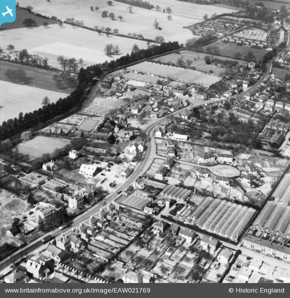
EAW021769 ENGLAND (1949). High Road Wormley and environs, Wormley, 1949. This image has been produced from a print.
© Copyright OpenStreetMap contributors and licensed by the OpenStreetMap Foundation. 2026. Cartography is licensed as CC BY-SA.
Details
| Title | [EAW021769] High Road Wormley and environs, Wormley, 1949. This image has been produced from a print. |
| Reference | EAW021769 |
| Date | 1-April-1949 |
| Link | |
| Place name | WORMLEY |
| Parish | |
| District | |
| Country | ENGLAND |
| Easting / Northing | 536483, 205443 |
| Longitude / Latitude | -0.023476606240139, 51.730607657399 |
| National Grid Reference | TL365054 |
Pins

Matt Aldred edob.mattaldred.com |
Saturday 17th of July 2021 05:45:04 PM | |

Ray Flack |
Thursday 30th of April 2020 01:21:44 PM | |
|
Ray Flack |
Thursday 30th of April 2020 01:16:55 PM | |
|
Ray Flack |
Thursday 30th of April 2020 01:15:34 PM | |
|
Ray Flack |
Thursday 30th of April 2020 01:14:23 PM | |
|
john |
Thursday 18th of May 2017 10:15:21 PM | |
|
john |
Thursday 29th of October 2015 07:36:14 PM | |
|
john |
Thursday 29th of October 2015 07:32:07 PM |
