
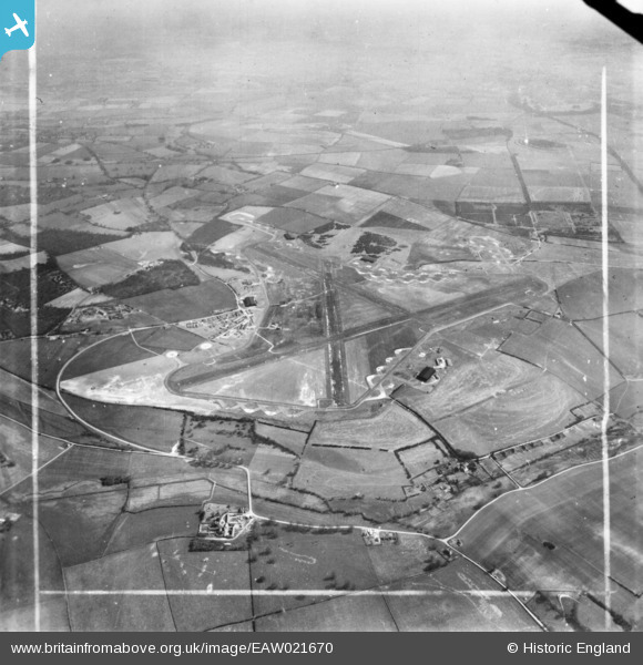
EAW021670 ENGLAND (1949). Tarrant Rushton Airfield, Tarrant Rushton, from the north-west, 1949. This image has been produced from a print marked by Aerofilms Ltd for photo editing.
© Copyright OpenStreetMap contributors and licensed by the OpenStreetMap Foundation. 2026. Cartography is licensed as CC BY-SA.
Details
| Title | [EAW021670] Tarrant Rushton Airfield, Tarrant Rushton, from the north-west, 1949. This image has been produced from a print marked by Aerofilms Ltd for photo editing. |
| Reference | EAW021670 |
| Date | 24-March-1949 |
| Link | |
| Place name | TARRANT RUSHTON |
| Parish | TARRANT RUSHTON |
| District | |
| Country | ENGLAND |
| Easting / Northing | 394154, 106205 |
| Longitude / Latitude | -2.0830613968204, 50.854771786853 |
| National Grid Reference | ST942062 |
Pins
Be the first to add a comment to this image!