
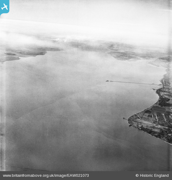
EAW021073 ENGLAND (1949). The mouth of the River Thames, Shoebury Ness, from the east, 1949
© Copyright OpenStreetMap contributors and licensed by the OpenStreetMap Foundation. 2025. Cartography is licensed as CC BY-SA.
Details
| Title | [EAW021073] The mouth of the River Thames, Shoebury Ness, from the east, 1949 |
| Reference | EAW021073 |
| Date | 16-February-1949 |
| Link | |
| Place name | SHOEBURY NESS |
| Parish | |
| District | |
| Country | ENGLAND |
| Easting / Northing | 592969, 183369 |
| Longitude / Latitude | 0.78149422334965, 51.515752135665 |
| National Grid Reference | TQ930834 |
Pins

Sara |
Wednesday 26th of February 2025 12:06:16 AM |