
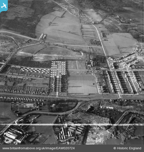
EAW020724 ENGLAND (1948). New housing development around Walsingham Road and Midfield Way, St Paul's Cray, 1948. This image was marked by Aerofilms Ltd for photo editing.
© Copyright OpenStreetMap contributors and licensed by the OpenStreetMap Foundation. 2026. Cartography is licensed as CC BY-SA.
Details
| Title | [EAW020724] New housing development around Walsingham Road and Midfield Way, St Paul's Cray, 1948. This image was marked by Aerofilms Ltd for photo editing. |
| Reference | EAW020724 |
| Date | 24-December-1948 |
| Link | |
| Place name | ST PAUL'S CRAY |
| Parish | |
| District | |
| Country | ENGLAND |
| Easting / Northing | 546807, 169627 |
| Longitude / Latitude | 0.11096219767917, 51.406147306453 |
| National Grid Reference | TQ468696 |
Pins

Starbug |
Tuesday 24th of June 2014 06:48:28 PM | |
|
Starbug |
Tuesday 24th of June 2014 06:47:31 PM | |
Lived in the prefabs here. All mod cons including a gas fridge! Big garden where we used to keep sticklebacks caught in a jam jar tiddler bashing in the Cray at Broomwood. |
Broom1 |
Tuesday 16th of February 2016 09:24:09 PM |
|
Gone2Kent |
Sunday 16th of February 2014 04:58:52 PM | |
Hi, When was this photo taken and can I have a copy please xxx I Now live in Wales and that is my Daughter walking across the end of Walsingham RD Miss her |
Hever |
Friday 13th of February 2015 09:52:22 AM |
|
Gone2Kent |
Sunday 9th of February 2014 01:50:33 PM | |
|
Gone2Kent |
Sunday 9th of February 2014 01:49:13 PM | |
|
Gone2Kent |
Sunday 9th of February 2014 01:47:49 PM | |
|
Gone2Kent |
Thursday 26th of December 2013 09:05:43 PM |


User Comment Contributions
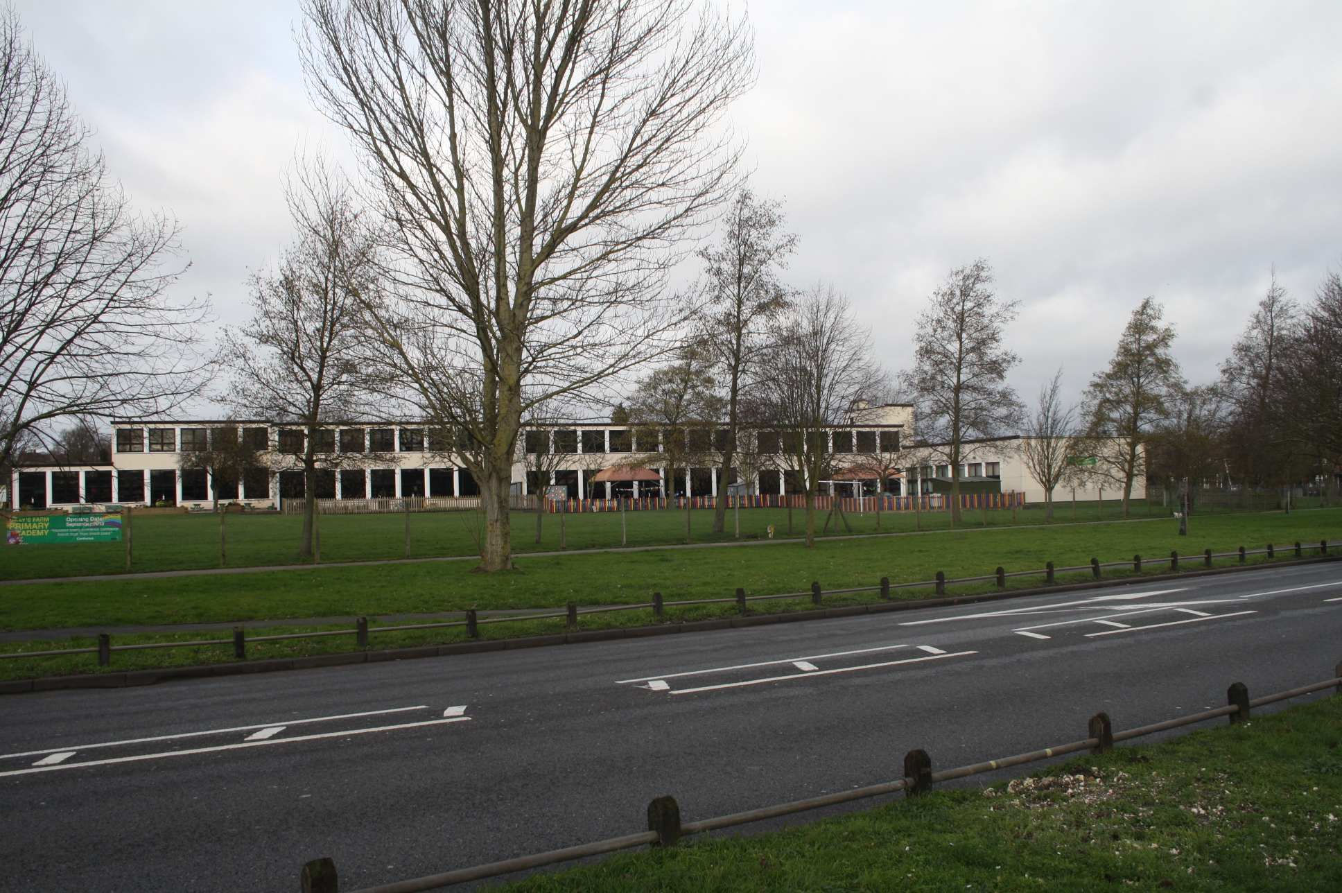
Gray's Farm School, "Academy" |
Gone2Kent |
Sunday 9th of February 2014 01:46:06 PM |